For a few years now I've been using this last week of the year to write a blog post that reflects on the year past. In particular, I've been using questions to help me focus my thoughts and keep me honest. I've done the same today.
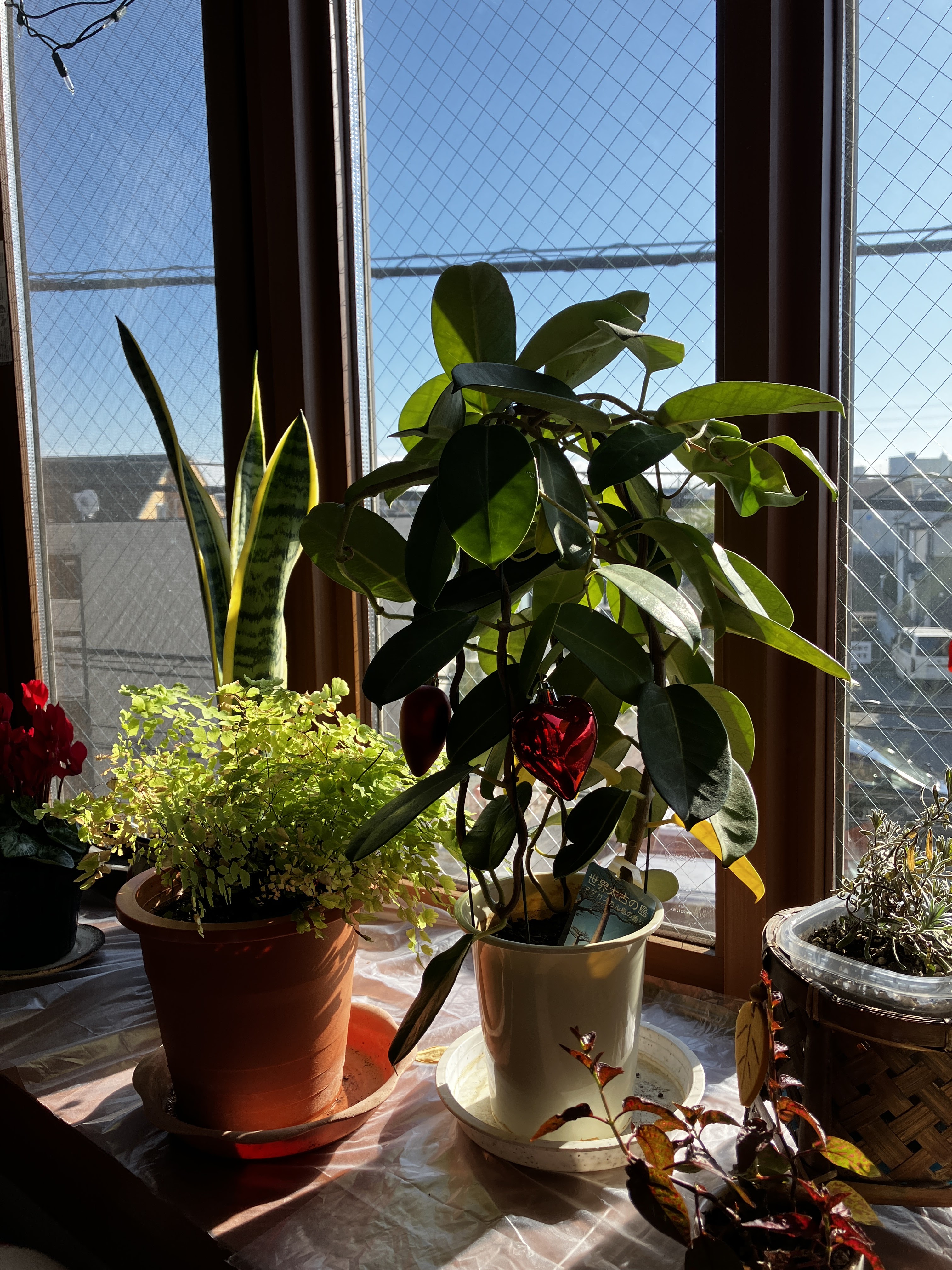
One of the many beautiful things we saw on our long
road trip in 2024.

road trip in 2024.
The questions and categories I've used are these (in case you'd like to copy and use them yourself):
1. What makes this year unforgettable?
2. What did I enjoy doing this year?
3. What/who is one thing/person I'm grateful for?
4. What did I read/watch/listen to that made the most impact this year?
5. What did I worry about most and how did it turn out?
6. What is my biggest regret?
7. What's something that has changed about me?
8. What surprised me most this year?
9. What Bible truths impacted me this year?
10. What meta-themes have I thought about this year? (in no particular order)
Highlights
Lowlights
Concluding thoughts.
1. What makes this year unforgettable?
Ah, so many things. I've just written our monthly prayer/newsletter and spent some space looking back at the many amazing things that happened in 2024. Here's a short list:
- Our youngest two sons moved out, leaving us without any children under our roof for the first time in almost 25 years.
- We took two months long service leave (an Australia institution that rewards long service with extended paid leave).
- We spent two months driving around south-east Australia in a motorhome, including a month in Tasmania
- Major changes for all our kids. Our youngest son started university. After a lengthy period of unemployment our middle son got his first job, a licence, and a car. Our eldest son (within a single month) moved 1,400 km north, took up a carpentry apprenticeship, and got engaged. Now we're contemplating a new daughter-in-law joining the family in the next fortnight.
- After 12 months away we moved back to Japan and into a new apartment, completing a downsize that's been ongoing for a few years.
- Living for the first time in Japan with no children.
- I had a bad run with a tooth abscess that was misdiagnosed during our sojourn south (and repeatedly in the following months) which ended with dental surgery, and now have one less tooth than I started the year with, as well as my first fake body part in the form of a one-tooth denture.
2. What did I enjoy doing this year?
- Our motorhome trip was definitely the biggest joy. We've never done such a massive journey (time-wise, this was only 500km shorter than our 16-day trip to Uluru in 2012, but obviously much longer at 58 days).
- There were many things tucked into that motorhome journey that were wonderful, like visiting the MCG for a day (large sports stadium in Melbourne where we did a tour, then enjoyed two museums) and the Bradman museum. Going to "end of the road" type places in Tasmania: e.g. most southerly point and to the north-eastern tip.
- I've enjoyed being just a couple again, setting up our new apartment together in July and August was satisfying.
- I did a one-night two-day retreat with close friends in February.
- Going on an unusual date to watch wheelchair rugby between our two countries.
- Helping run a wrestling tournament at CAJ also fits on this list!
...and yes, there's lots of sport there!
3. What/who is one thing/person I'm grateful for?
- As usual: my husband, but also that God allowed us to come back to Japan rather than a much more dramatic change of direction.
- And my closest friends: how would I do life without them?
4. What did I read/watch/listen to that made the most impact this year?
- A Call to Spiritual Reformation: Priorities from Paul and His Prayers, D.A. Carson
- Awe: Why it Matters for Everything We Think, Say, and Do by David Paul Tripp
- Bullies and Saints, John Dickson
- The Meaning of Marriage, Timothy Keller with Kathy Keller
- Continued to enjoy Undeceptions podcast.
- I also enjoyed Storytellers: Questions, Answers and the Craft of Journalism by Leigh Sales.
5. What did I worry about most and how did it turn out?
- Despite writing this (in my first blog post this year): "I think that giving up worrying is a worthy goal, not just for 2024, but for the rest of my life. I'm certain that I will fail again and again, but with God's help I surely can improve on what I've done up till now!" I worried about whether 2024 would be a major turn in the road for us. That is, whether we'd return to Japan and how our kids would cope without us nearby. Well it's turned out much better than I expected.
6. What is my biggest regret?
- I can't think of one, except for the first lowlight below: that our long trip was marred by my illness, which of course wasn't my fault, but I wish it hadn't happened.
7. What's something that has changed about me?
- I think I'm trusting God more. It's been a long, hard road of learning that is by no means over, but I think I've made progress.
8. What surprised me most this year?
- A new (almost) daughter-in-law. I've had a quarter of a century of being a mum to boys, adding a girl to the family has been a pleasant surprise. And though we are far apart and have only met three times, I have been excited to get to know her a bit and start to forge a relationship with her that is unlike anything I've experienced before.
9. What Bible truths impacted me this year?
- It's hard to remember anything especially. But here are some Bible verses that I included on my blog through the year:
- Luke 12:23–26 (the folly of worry)
- Numbers 13 & 14 (story of 12 Israelite spies)
- Isaiah 55:8–9 (my thoughts are not yours declares the Lord)
- Psalm 91:2 (the Lord is my refuge and my fortress)
- Deuteronomy 31:8 (the Lord goes before you, he will not leave or forsake you)
- 2 Corinthians 4:18 (fix our eyes not on what is seen, but what is unseen–that is eternal)
- Psalm 145:4 (you are called to make the invisible glory of God visible)
- Various prayers of Paul (for example, see Ephesians 3, Colossians 1)
10. What meta-themes have I thought about this year? (in no particular order)
- Trusting God
- Letting go makes room for growth and new opportunities
- Downsizing
- Is "feeling useful" a good thing?
- What kind of mother-in-law do I want to be?
- Stepping back from my adult kids means I enable them to grow.
- Retirement planning!
- Belonging
- Who am I apart from my children?
- Aging
- Accepting again that I am who God made me to be: weaknesses included
Highlights- Obviously our long service leave trip in a motorhome.
- Seeing our sons grow in character and skill, living independently, and making adult-level decisions.
- Retreat with close friends.
- Moving into our new apartment in Tokyo.
- Attending live sporting events: cricket, wheelchair rugby, wrestling.
- Many times with friends on both sides of the ocean.
- Finishing a long-term cross-stitch project.
- Successfully blogging my way through our two-month road trip.
Lowlights
- Our motorhome journey was marred by my battle with a misdiagnosed tooth abscess. Easter weekend was particularly low in that regard.
- As usual, goodbyes and an international move were hard, and saying goodbye to all our kids this time was extra difficult, but the flipside of that is (the second) highlight I've already mentioned.
Concluding thoughts
I'm really glad that 2024 is over. The past two years have been a lot of hard work and exhausting. I still feel the shadow of the exhaustion from it all. But I'm also glad for all the things we were able to achieve during the last two years, by God's grace! My next blog post is about looking forward to 2025...so I won't go there now.
I'm going to finish this year of blogging with a favourite Bible passage of mine, one I like to pray when I don't know what else to pray for someone. For sure God has done more than we could imagine in 2024!
I pray that out of his glorious riches he may strengthen you with power through his Spirit in your inner being, so that Christ may dwell in your hearts through faith. And I pray that you, being rooted and established in love, may have power, together with all the Lord’s holy people, to grasp how wide and long and high and deep is the love of Christ, and to know this love that surpasses knowledge – that you may be filled to the measure of all the fullness of God. Now to him who is able to do immeasurably more than all we ask or imagine, according to his power that is at work within us, to him be glory in the church and in Christ Jesus throughout all generations, for ever and ever! Amen. (Ephesians 3:16–21 NIV)